
Washington County ZIP Coverage
Washington County postal areas stretch from dense parts of Fayetteville and Springdale to small Ozark towns and long rural routes. The working coverage list below reconciles county, GIS, and official locality references. It is a search aid, not a substitute for checking one address. The U.S. Postal Service does not publish a simple county-to-ZIP table with neighborhood labels, and the research did not confirm any ZIP used only for post office boxes or one institution.
| ZIP | Washington County area | Postal place | Boundary note |
|---|---|---|---|
| 72701 | Downtown, south, and east Fayetteville | Fayetteville | City and rural delivery areas differ |
| 72703 | North and east Fayetteville | Fayetteville | Not a city-limit polygon |
| 72704 | West Fayetteville and Wedington area | Fayetteville | Includes growth beyond the historic core |
| 72717 | Western county | Canehill | Rural routes |
| 72727 | Elkins and nearby country | Elkins | City plus rural routes |
| 72729 | Western and southwestern county | Evansville | Rural area |
| 72730 | Farmington and surrounding delivery area | Farmington | Postal and city edges may differ |
| 72738 | Eastern county edge | Hindsville | Mostly Madison County; verify the address |
| 72744 | Western county and rural routes | Lincoln | Broad delivery area |
| 72749 | Southwestern county | Morrow | Rural delivery |
| 72753 | Prairie Grove and nearby country | Prairie Grove | City plus rural delivery |
| 72761 | Possible western county edge | Siloam Springs | Primarily Benton County |
| 72762 | West Springdale metro area | Springdale | Serves both Benton and Washington counties |
| 72764 | East Springdale | Springdale | Significant Washington County portion |
| 72769 | Western rural county | Summers | Rural delivery |
| 72773 | Eastern rural county | Wesley | Rural delivery |
| 72774 | South-central county | West Fork | City and rural routes |
| 72959 | Southern county | Winslow | Different three-digit ZIP prefix |
Edge cases deserve care. A 72762 result may be in either Benton or Washington County. A 72701 mailing label can sit beyond Fayetteville's city boundary. The ZIP code directory therefore narrows the search area but never settles the county, municipality, parcel owner, or occupant by itself.
For an address-level check, the USPS ZIP Code Lookup is the first official stop. Its search screen shows why a complete street address matters.
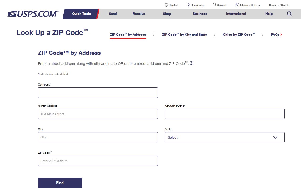
The standardized result supplies the delivery form and ZIP+4, while jurisdiction still must be checked elsewhere.
Washington County ZIPs Cross Lines
Springdale is the county's clearest postal quirk. The city spans Washington and Benton counties, while 72762 and 72764 describe delivery patterns rather than courthouse authority. A person can keep a Springdale postal label while the parcel, tax roll, deed, and permit file belong to a different county than another Springdale address. That difference changes which assessor, recorder, GIS, and planning desk holds the useful record.
Fayetteville presents the same issue at the city edge. Rural delivery can carry “Fayetteville” even when Washington County Planning, not the city, controls subdivision review, floodplain permits, E911 address review, or a conditional-use file. The Fayetteville municipal gateway helps test whether a city service applies.
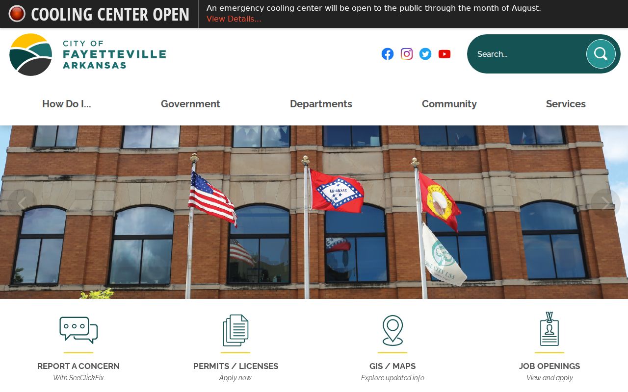
The city gateway is a jurisdiction clue. It does not turn a postal place into a legal boundary.
Boundary check. Treat the ZIP, city label, county line, and municipal limit as four separate facts until the parcel map confirms them.
Search Washington County by ZIP
Finding residents within one ZIP begins with verification, not a broad name list. The assessor's current interface is confirmed to search by owner, property address, and parcel number. An explicit ZIP-only filter was not verified. The county public webmap can add spatial context, and a lawfully obtained statewide voter file can be filtered by released address fields. VoterView cannot browse a ZIP or enumerate a block.
- Enter the full address in the USPS lookup. Save the standardized street form and ZIP+4.
- Open the Washington County GIS gateway. Locate the address, parcel, county, and municipal boundary.
- Search the assessor roll by the accepted address or owner field. Keep the situs address separate from the owner's tax-mail address.
- Choose the city or county planning desk from the mapped jurisdiction. For a whole-street method, continue with the Washington County street directory.
This sequence prevents a false leap from delivery geography to residency. A parcel card can establish the record owner and physical site, but renters and other household members may not appear. A voter extract covers registered voters only, with secure addresses withheld. Each source answers a narrower question than “everyone in this ZIP.”
Washington County ZIP Search Fields
The assessor search is still useful after a ZIP has been checked, even though a live ZIP field was not confirmed. Search the property address first. A parcel number is more stable when spelling, rural routes, or annexation make the address uncertain.
| Verified field | Input | Best use |
|---|---|---|
| Owner Name | Text | Surname or partial-name search |
| Property Address | Text | Physical, or situs, address |
| Parcel Number | Text | County parcel identifier |
| Subdivision | Text or dropdown where offered | Group parcels within a named plat |
The result may show owner name, property address, tax-mail address, legal description, land and improvement values, and property traits. Those fields identify the tax parcel. They do not establish every resident at the site.
Note: Vendor controls can change, so confirm the live interface before relying on a saved search routine.
Arkansas ZIP+4 Data Changed
The Arkansas GIS Office processed updated statewide ZIP+4 data on April 17, 2026. The product comes from USPS-licensed data and is offered as a product plus feature and map services. It helps with geocoding and tax-jurisdiction work in fast-growing Washington County. It is not a list of residents.
The Arkansas GIS ZIP+4 update documents the current release.
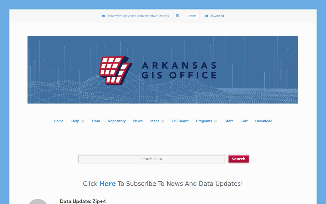
The update matters because Washington County growth changes address data quickly. Always note the date of a GIS layer or exported roll.
Rural Washington County ZIP Records
Washington County Planning reviews E911 address applications in unincorporated territory. Municipalities maintain addresses within their own boundaries. That split is central in rural ZIP research because the mailing label alone does not name the office that reviewed a plat, lot split, legal description, or permit. County Planning is at 2615 S. Brink Drive in Fayetteville and can be reached at 479-444-1724 for procedure questions.
Rural routes may become numbered street addresses, and annexation may move the permit custodian without changing the underlying parcel. Use the parcel number and legal description to bridge those changes. The legal description is the recorded land identity, while the parcel number is the assessor's identifier. Neither is an encoded postal address.
When a portal does not resolve an edge address, contact Planning or the municipality by phone, visit the proper counter, or request the existing planning record under the Arkansas Freedom of Information Act. A request should name the address, parcel, record type, and date span. The county's General FOI channel is the online fallback for county-held administrative records.
Washington County ZIP Terms
Postal and land-record terms are easy to blend together. Keeping them separate makes the Washington County ZIP code directory more accurate, especially along the Springdale and Fayetteville edges.
- Postal zone
- A USPS delivery geography. It is not a city or county boundary.
- ZIP+4
- The basic ZIP plus four digits that narrow delivery to a smaller segment.
- PO-box ZIP
- A ZIP assigned for post office box delivery. No Washington County example was confirmed in the research.
- Unique ZIP
- A ZIP assigned to one high-volume recipient. No local example was confirmed.
- Carrier route
- The path or group of delivery points served by a postal carrier.
USPS validates mail delivery. County GIS locates the parcel. The assessor identifies the record owner, and planning records identify the agency with land-use authority. Combining those sources is safer than asking one field to perform all four tasks.
Washington County ZIP Limits
A ZIP-wide search cannot produce a complete Washington County household list. DataScout records parcels and owners. Its tax mailing address may belong to an owner who lives elsewhere. VoterView checks one voter's registration using identifying inputs, while the requested statewide file contains only registered voters and excludes protected information. Children, nonregistrants, renters, and other occupants can be absent from both.
The Arkansas Secretary of State supplies separate voter-data request products, including registration and vote-history files. Vote history reports participation, never ballot choices. Secure-voter address information must remain confidential. For older geography, the Fayetteville Public Library, Arkansas State Archives, maps, directories, and local newspapers provide alternatives to modern postal research.
Historic research has its own fallback chain. Fayetteville Public Library holds maps, directories, census sources, newspapers, and local genealogy material, with some databases limited to in-library use. Remote research requests are accepted and may have costs. Arkansas State Archives adds county microfilm and statewide directories, while Washington County Archives preserves land, tax, school, license, community, cemetery, and post-office groups. These sources can explain an older place name or route when present-day delivery data does not. Ask for an exact title, year, and geographic scope before treating an entry as Washington County evidence. A regional directory may include nearby Benton County, Madison County, or Oklahoma communities. The broad coverage reflects local movement, but it also makes a careful county check essential.
Boundary-edge addresses need a final USPS check and a GIS check. If the portal fails, use the assessor counter at 280 N. College Avenue, Suite 250, call 479-444-1500, or ask which value year the roll reflects. The office is open Monday through Friday, 7:30 a.m. to 4:30 p.m. That access chain keeps Washington County ZIP research useful without overstating what postal data proves.