
Washington County Neighbor Sources
No single roll lists every person around a Washington County address. The county GIS and assessor cover land. Recorded plats explain the block's legal layout. Voter records cover registration, while reverse directories capture listed occupants in past years. Planning files and public association contacts reveal civic activity. The useful answer depends on whether the question concerns an owner, a parcel, a registered voter, a historic household, or a public neighborhood contact.
| Source | Block evidence | Access route |
|---|---|---|
| County Public Webmap | Parcel shapes, adjoining lots, boundaries, and available layers | Free interactive map; GIS gateway |
| DataScout parcel cards | Record owner, situs, tax-mail address, parcel, and legal description | Public portal; Assessor counter or phone |
| Recorded plats | Subdivision, lot, block, and street layout | Circuit Clerk index; Archives for older material |
| Requested voter file | Registered voters by released address fields | Secretary of State request; protected fields removed |
| Reverse directories | Historic listed occupants or telephone subscribers by address | Fayetteville Public Library or State Archives |
| Planning cases | Named applicants, parcels, projects, and decision dates | City or county portal, counter, or FOI request |
| Neighborhood groups | Public officers and contact channels | Municipal or group pages, not private rosters |
These sources describe the block from different angles. A tax-mail address may point away from the parcel. A deed party may have sold the land years ago. A voter record omits nonvoters and protected addresses. Even when two fields agree, they support only the fact printed in that record.
Map Washington County Neighbors
The adjacent-parcel method keeps a neighbor search close to one address. It also avoids assuming that every lot with the same street name is part of the immediate block. The Washington County GIS gateway links the county Public Webmap and DataScout Map.
- Search the known situs address, which means the parcel's physical location. Zoom until the parcel outline is clear.
- Select the target polygon and note its parcel number. Then click the parcels that directly adjoin it in each direction.
- Open each parcel in the Washington County property search. Compare owner, physical address, tax-mail address, and legal description.
- Check roads, creeks, multifamily sites, and parcel orientation before calling two properties neighbors. For an entire road, use the Washington County streets directory.
The map can include parcel, planning, zoning, flood, and jurisdictional context. The available layer list may change. County map data is based on the best material at hand and is not a survey, so a visible line should not settle a boundary dispute.
Note: Save the parcel number because it is less vulnerable than a street spelling, directional, or rural-route label.
Washington County Owner Myth
The named parcel owner is not necessarily the neighbor who lives there. An off-site owner, trust, estate, company, or distant owner may receive the tax bill. Apartment land often appears as one entity-owned parcel even though many households occupy the building. A homestead credit can support owner occupancy, but it cannot prove which household members are present. Its absence does not prove that the place is vacant.
DataScout separates the situs address from the owner mailing address. The situs locates the property. The mailing field tells where tax notices go and may be a post office box, manager, or another property. A Washington County neighbor lookup should label each fact by source instead of turning the mailing recipient into a household list.
- Parcel
- A tract or lot carried as one unit on the assessor roll.
- Situs address
- The physical location assigned to the parcel.
- Mailing address
- The destination for owner tax notices, which may differ from the site.
- Plat
- A recorded drawing that lays out lots, blocks, streets, and related boundaries.
Washington County Block Plats
A recorded plat can explain why the block looks different from the tax map. It identifies the subdivision, lot and block scheme and can preserve an older street or development name. Current deeds, liens, and plats belong with the Washington County Circuit Clerk. Historical land access runs through the county Archives Chronicle index for 1834 through 1991 and the original handwritten indexes at Archives.
Start with the legal description on the parcel card, then locate the relevant plat or deed reference. For a current instrument or certified copy, use the Circuit Clerk's index and counter at the county courthouse, 280 N. College Avenue in Fayetteville. If the trail reaches 1991, search the Chronicle land index. Archives staff and the handwritten books are the fallback when a transcription or scan fails.
Plats show land arrangement, not who occupies each home. They are most useful for defining the block, resolving shared drives or odd lot shapes, and linking a modern parcel to an older legal description.
Washington County Voter Limits
Arkansas VoterView checks one person's registration using name and birth date. It can show status, polling place, sample ballot, and election districts for that voter. It cannot browse a Washington County street, map a block, or return every nearby voter.
The statewide voter file is a different access channel. Arkansas Secretary of State documentation describes registration, vote-history, and combined products. The registration file includes address and district fields subject to the request terms and legal limits. A requester may filter lawfully released address data, but the result covers registered voters only. Vote history shows election participation, never ballot choices.
Secure-voter status protects the address of a qualifying domestic-violence victim under Arkansas law. A missing or withheld address must not be treated as proof that a person is not registered or does not live nearby. The Washington County Clerk at 280 N. College Avenue, Suite 300, handles local registration and corrections by counter or phone at 479-444-1711. Statewide file requests go to SOS Voter Services by its written process, phone at 1-800-247-3312, or email at voterservices@sos.arkansas.gov.
Washington County Neighborhood Contacts
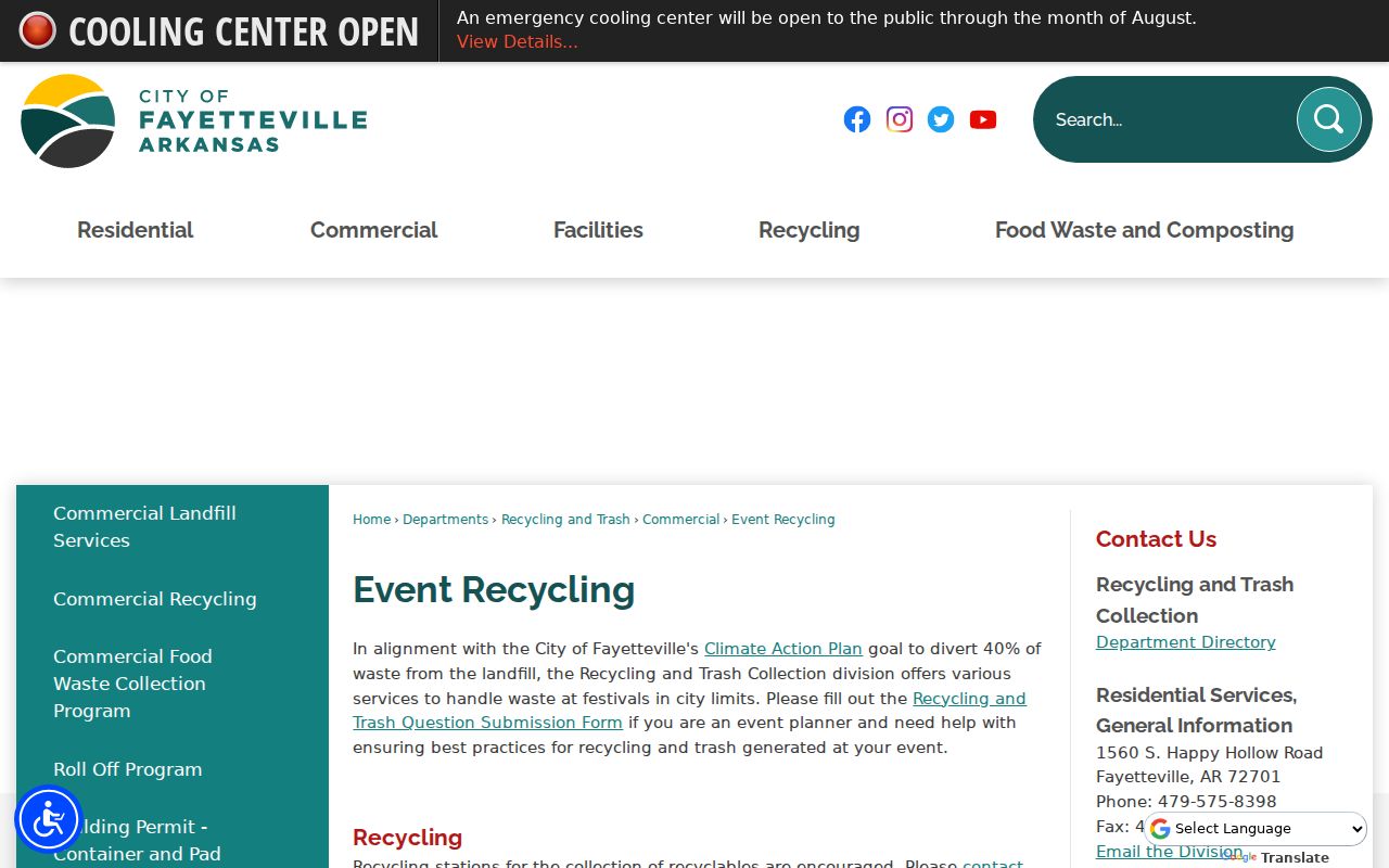
Fayetteville Neighborhood Services is the researched municipal starting point for public neighborhood contacts. It may publish association names, officers, or contact people, but that does not make a private member list public. Other Washington County cities maintain their own civic structures, and no complete official countywide association or homeowners' group inventory was found.
The Fayetteville Neighborhood Services page shows the local city entry point.
Use the public contact to ask about meetings, archived newsletters, or civic work. Do not ask staff to disclose a private roster.
Fayetteville neighborhoods
Start with Neighborhood Services for city association contacts and public civic information.
Other municipalities
Contact the relevant city clerk or municipal office because each town has its own structure.
Unincorporated areas
County Planning holds development and E911 material; private group membership stays private.
Congregations, clubs, and community groups may publish leaders, not general rosters. Their public contacts can point to archives or events without exposing member details.
Washington County Neighbor Tools
Official rolls and commercial neighbor-search products serve different roles. The official source is narrower but tied to a custodian. A commercial service may combine broad data, yet the result can be stale, merged with another person, or stripped of the date and office needed to verify it.
| Source type | Strength | Main limit |
|---|---|---|
| County GIS and assessor | Dated parcel and owner evidence | Owner is not the same as occupant |
| Recorded plat or deed | Legal land and transfer evidence | Does not list a current household |
| Official voter access | Registration evidence under Arkansas rules | Not all residents; protected fields withheld |
| Historic reverse directory | Listed occupants or subscribers by address | Edition-specific and often incomplete |
| Commercial compiled tool | Broad lead generation | May be stale, conflated, or costly |
Use a compiled result only as a lead. Confirm the parcel with the Assessor, a recorded instrument with the Circuit Clerk, registration through the authorized election channel, and historic occupancy through the cited directory edition.
Washington County Neighbor Custody Records
Custody and court systems answer narrow public-safety or case questions. They are not directories of ordinary Washington County neighbors. A custody result reflects a specific government record and can change quickly. A court index identifies a case party, not guilt, present custody, or residence on a given block. Use these official sources only when the question truly concerns the record they hold.
The Arkansas Division of Correction inmate search is the official state locator for searches by name or ADC number.
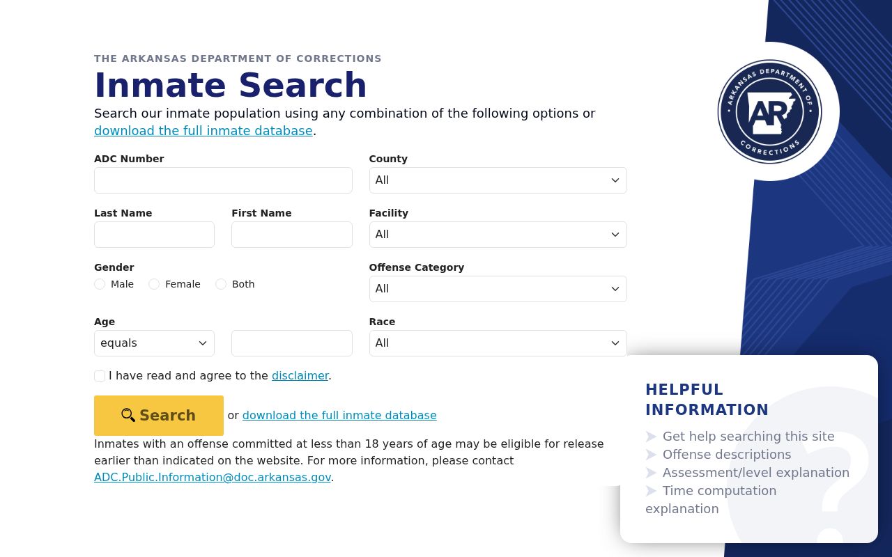
A match can provide identity, facility, status, or sentence data made public by the state. It does not establish that the person lives near the searched Washington County address. Current county detention information instead belongs with the Washington County Sheriff's detention desk, and any charge remains an allegation unless a court adjudicates it.
Federal Cases and Washington County Neighbors
Federal criminal and civil cases connected with Northwest Arkansas belong to the U.S. District Court for the Western District of Arkansas, while federal docket and document access runs through PACER.
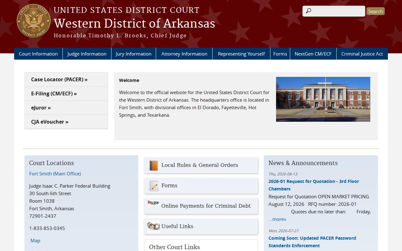
The district court site identifies the federal court and its public services. A docket may show parties, filings, and case events, but it should never be converted into a claim about who occupies a nearby home. Certified documents and questions about a federal file go to the federal clerk.
Federal Custody and Washington County Neighbors
The Federal Bureau of Prisons inmate locator covers federal custody and can be searched by name or federal register number.
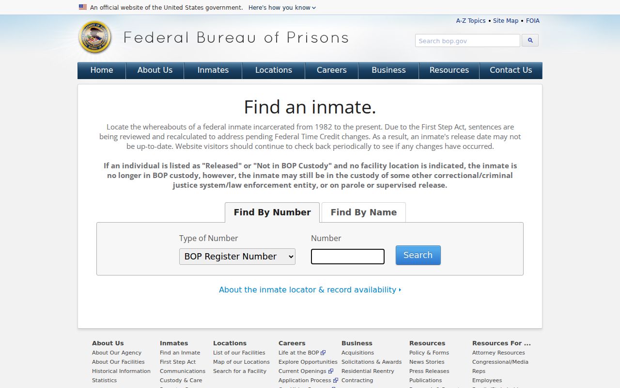
Federal custody data is distinct from Arkansas prison data, Washington County detention reports, and Search ARCourts. None supplies a general neighbor list. For personal safety, verify a current custody question with the agency that holds it, read a disposition from the court rather than an arrest page, and never use a record to threaten, shame, or pursue another person.
Past Washington County Neighbors
Modern parcel evidence can be paired with reverse, or criss-cross, directories that arrange entries by address. Fayetteville Public Library's Grace Keith Genealogy Collection offers local directories, newspapers, yearbooks, maps, census sources, and an obituary search. Some databases are available only in the library, while remote research requests are accepted and may carry costs. The Arkansas State Archives adds statewide city and business directories spanning 1840 through 1999.
For a historic block, take the current parcel number and legal description to the older plat or map. Then check an address-arranged directory edition. Newspapers can fill years between volumes, and the 1930 Fayetteville Sanborn atlas can show building footprint and use. A directory entry is evidence for that edition, not proof of continuous residence.
If digitized searching stops, call or visit the library and Archives. Ask for the exact directory title, publisher, year, and whether it includes an address section. University of Arkansas Special Collections, Shiloh Museum, and the Washington County Historical Society can add community context, but the local library and State Archives are the primary directory channels documented for this task.
Washington County Neighbor Privacy
Washington County public records do not provide utility accounts, delivery records, or DMV address lists. Juvenile, sealed, protected-victim, and secure-voter information may be absent by law. Apartments may collapse many homes into one parcel. Entity ownership can hide the name of any occupant. These are limits of the record, not gaps to defeat.
Planning files depend on jurisdiction. Incorporated parcels go to the city; unincorporated parcels go to Washington County Planning. When no portal exposes the existing record, use the correct counter, call the custodian, or submit a focused request through the county General FOI request channel. State the parcel, address, record type, and date range. A request cannot override privacy law.
Lawful use. Use neighbor records for civic curiosity, block history, reconnection, and personal safety. Never watch, threaten, harass, or intimidate another person.
Arkansas laws on harassment, harassing communications, and stalking apply even when a fact came from a public source. If a record is wrong, contact the office that keeps it. The portal usually mirrors the custodian's data and cannot make the legal correction itself.